Navigationsmenü
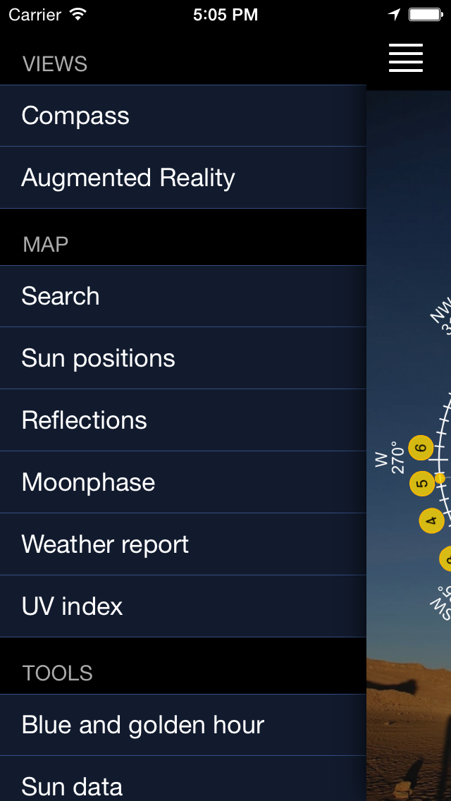
Wische nach links oder klicke das Icon oben links in der Ecke, um auf das Navigationsmenü und die anderen Seiten zuzugreifen.
Mit dieser Art der Navigation bleibt mehr Platz für Inhalte.
Kompassansicht
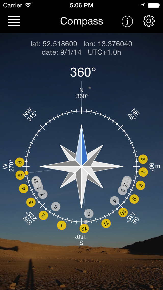
Ein Kompass mit allen sichtbaren Sonnen- und Mondständen. Nutze diese Ansicht, um die Postionen relativ zur Richtung des Geräts anzuzeigen. Die kleinen Punkte zeigen jeweils den aktuellen Stand.
Virtuelle Ansicht
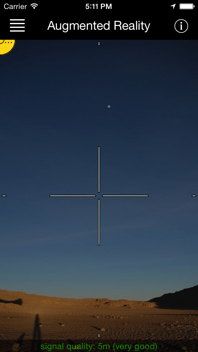
Halte Dein Gerät in Luft und sehe den Sonnen- und Mondverlauf.
Kartenansicht: Suche
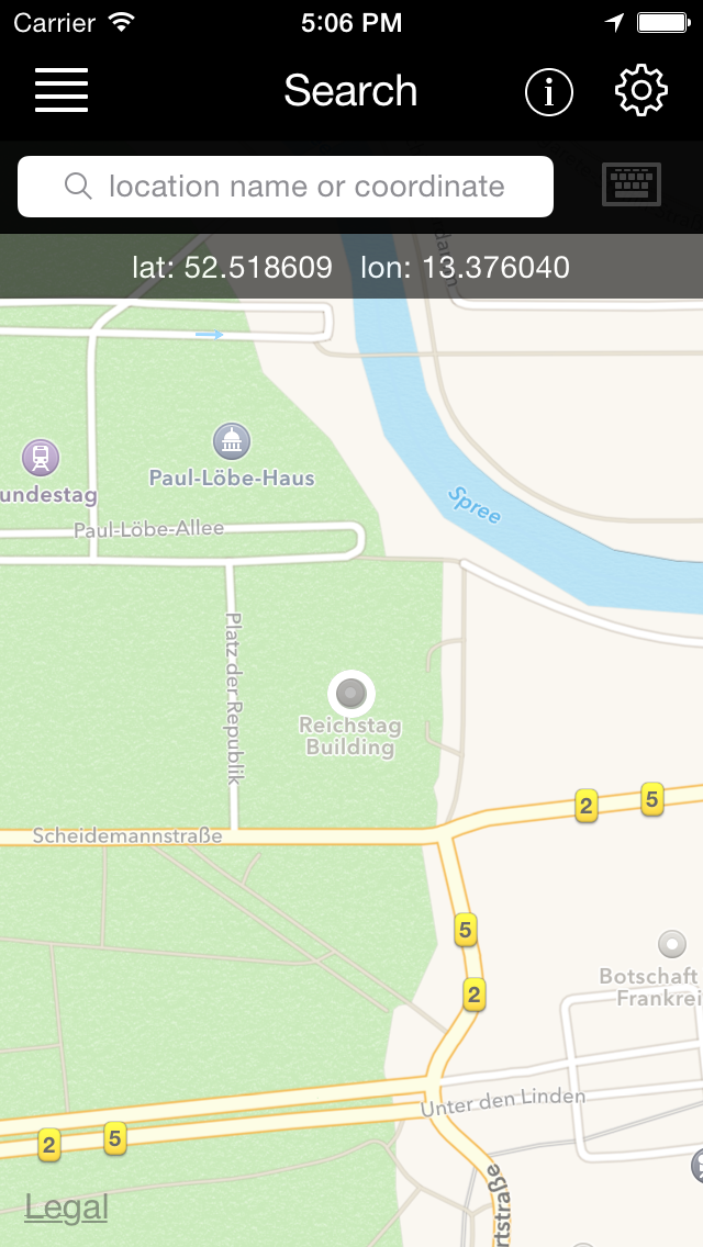
Suche nach Orten oder Koordinaten. Ein oft gewünschtes Feature!
Kartenansicht: Sonnenstand
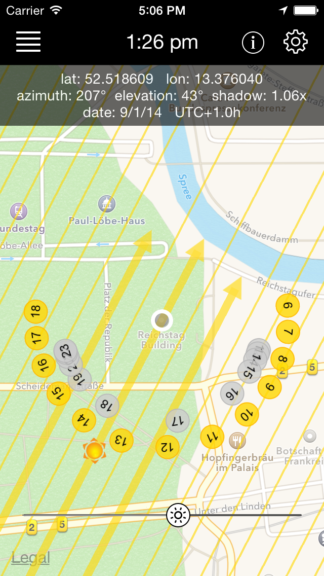
Anzeige der Positionen auf der Karte. Mit dem Slider kann die Sonnen- und Mondstand Minutengenau angezeigt werden. Natürlich kann die Karte auch bewegt werden.
Kartenansicht: Reflexion
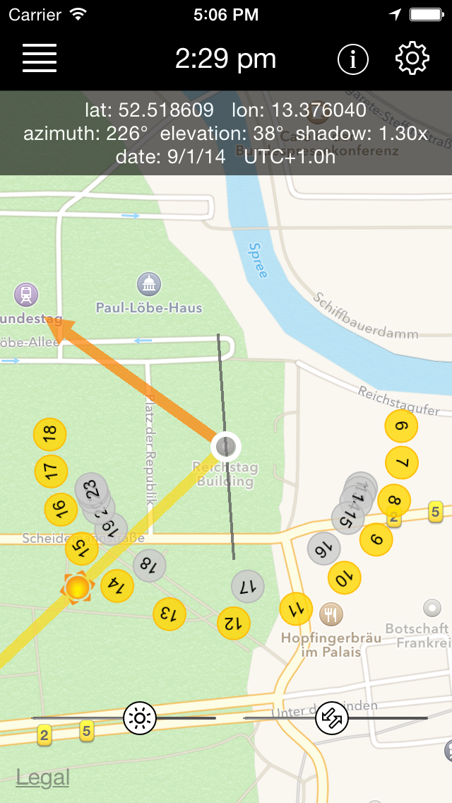
This map view is more specialized. It is not only designed to show the sun beams, but also the reflection angle of any surface. So you can precisely see, where the sun reflection of a glass building will be at what time.
Mondphase
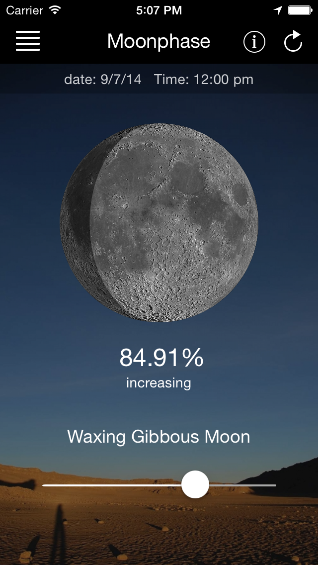
The lunar phase view shows you the visibility of the moon. The shadow calculations are very detailed, as the moon is rendered actively for any state.
Wetter
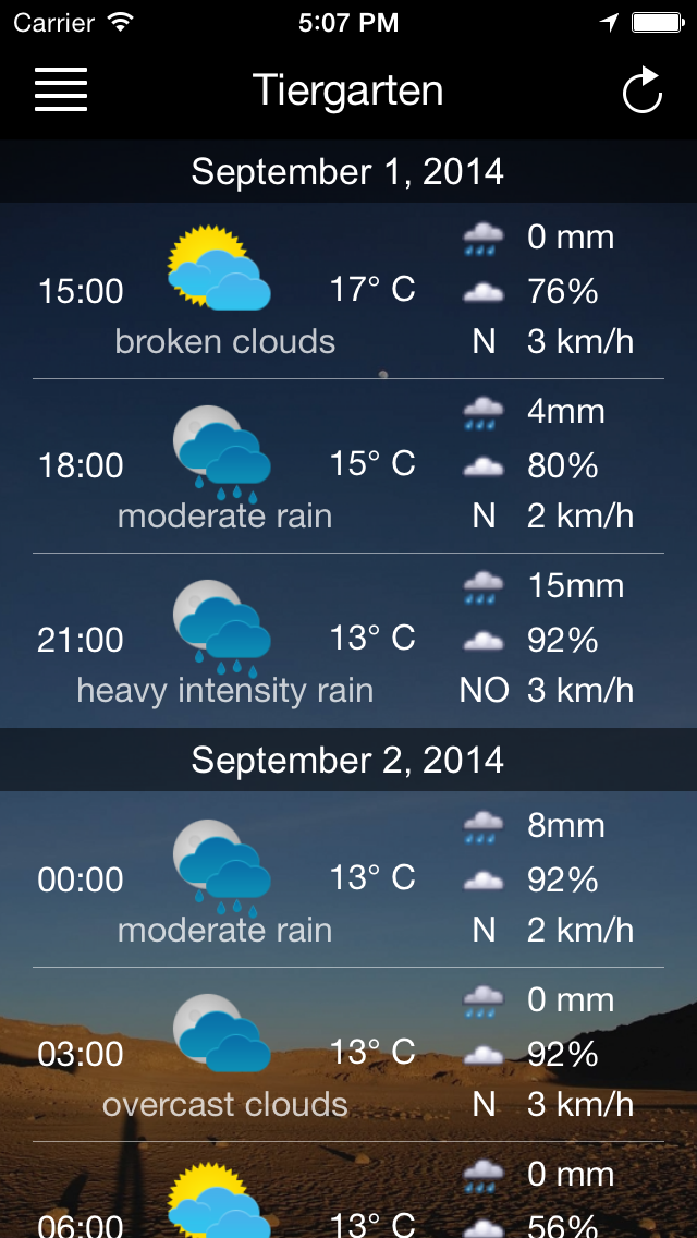
Weather report of the chosen location. The important parameters for photography like cloud amount and rain probability are included.
UV Index
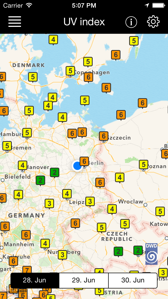
The purpose of the UV Index is to help effectively to protect yourself from UV radiation, of which excessive exposure causes sunburn and other related damages.
Blaue und goldene Stunde
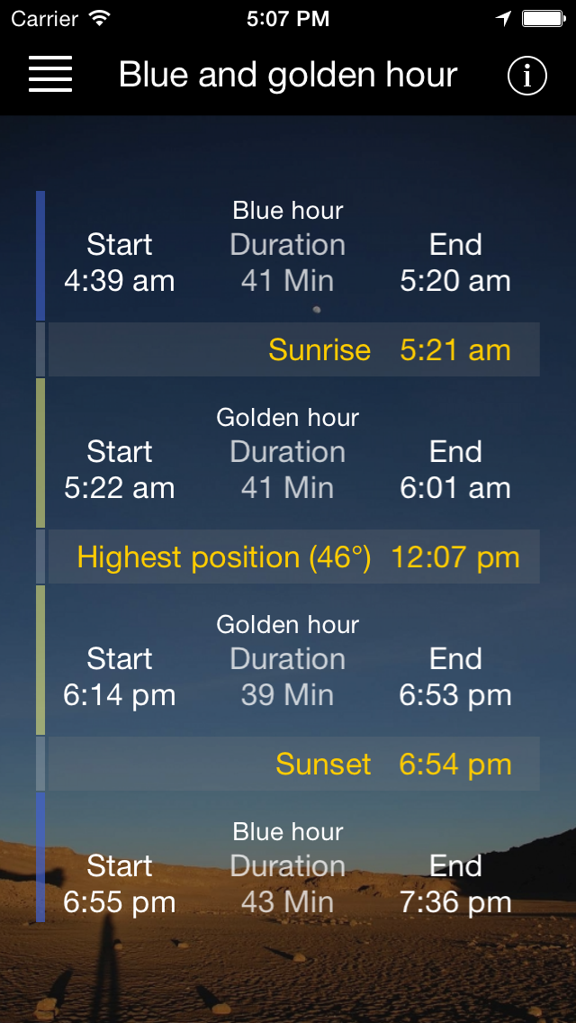
Calculate the most important daytimes of photography. Get the length of blue and golden hour, to plan your trip or photo session.
Daten: Sonne
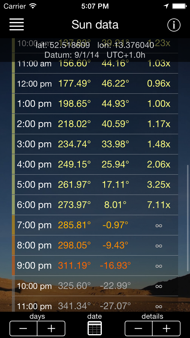
Detaillierte Berechnungen für jeden beliebigen Ort und frei wählbare Zeit. Der Detailgrad kann bis zu jeder einzelnen Minute erhöht werden.
Daten: Mond
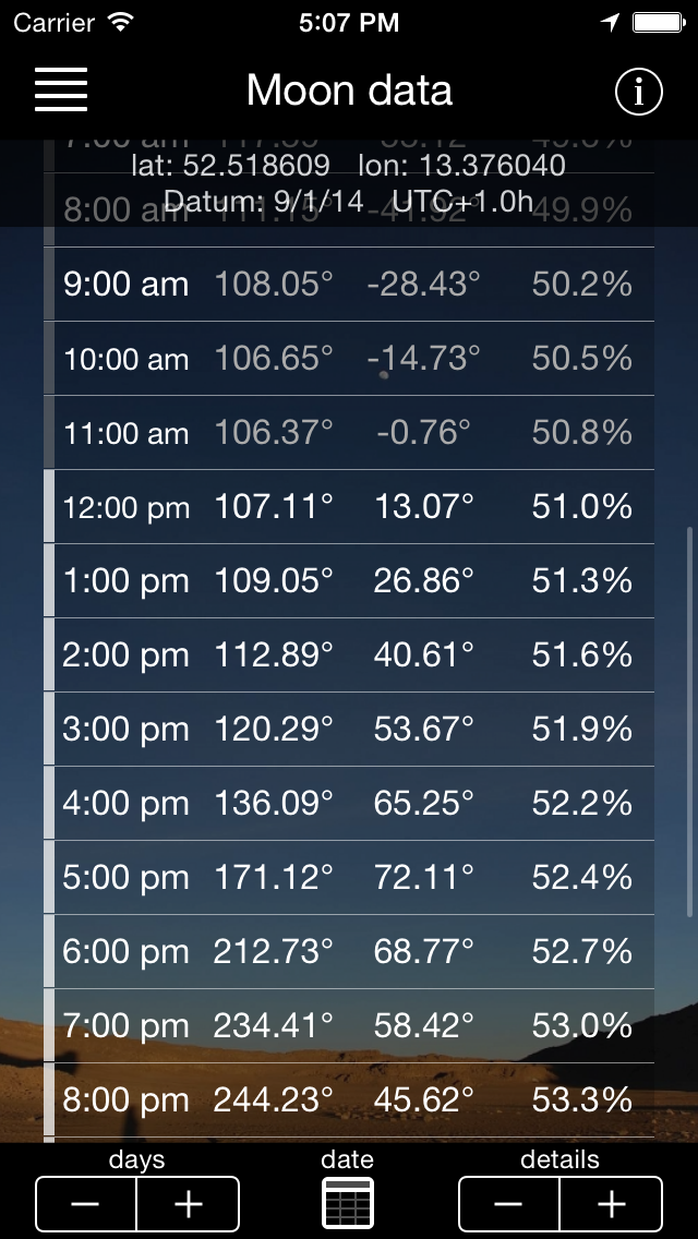
Detaillierte Berechnungen für jeden beliebigen Ort und frei wählbare Zeit. Der Detailgrad kann bis zu jeder einzelnen Minute erhöht werden.
Schattenrechner
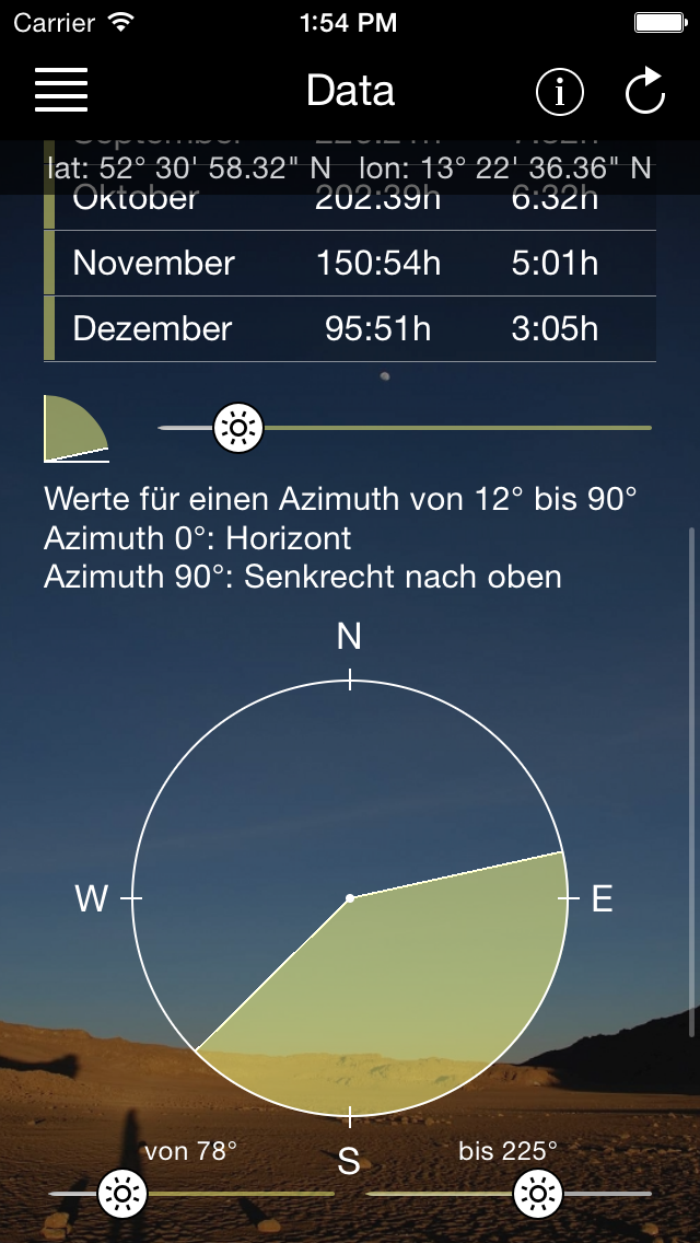
A complex tool to calculate the sun time of a location. It will show you the hours and minutes per month and average per day. You can limit the bound vertically (for example obstacles like houses or trees) and horizontally (like limits of a balcony or solar panel). The initial calculation for a location takes a few minutes depending on the device, but once finished, you can adjust or play with the bounds to check the results.
Wikipedia
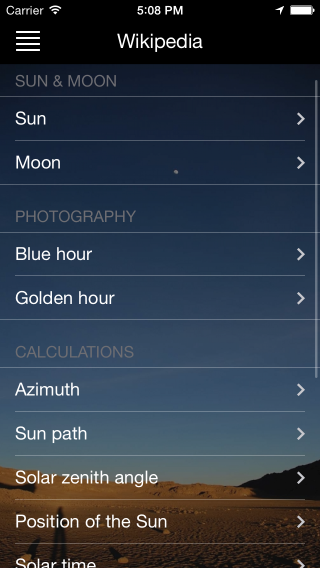
Einige Wikipedia zum Thema dieser App. Hintergrundinformationen zur Fotografie und Sonne und Mond.
Einstellungen
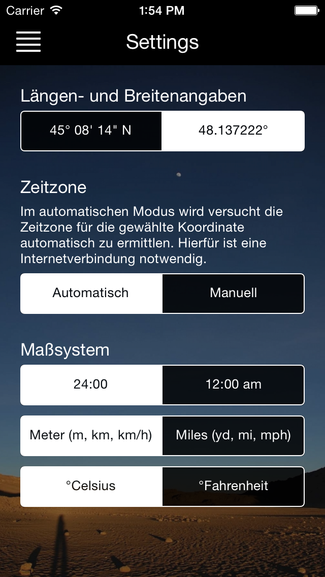
Einfache Einstellungen für metrische oder britisches Maßsystem und Koordinatenformat.


